Across West, Central, East, and Southern Africa, we have helped ministries transform the way they plan and execute interventions: from indoor residual spraying (IRS) campaigns in Senegal and Angola, to seasonal malaria chemoprevention (SMC) in the Sahel, to cross-border surveillance through the Elimination 8 platform linking Namibia, Mozambique, Botswana, Eswatini, and South Africa. In Nigeria, our geospatial microplanning tools have helped national and state programs identify missed settlements, reduce resource wastage, and bring routine immunization and malaria services to overlooked communities.
These experiences have given us a panoramic view of malaria programming: how IRS is monitored in the floodplains of Angola, how SMC cycles are routed across Sahelian villages, how reactive responses are triggered in low-transmission districts of Namibia, and how household-level maps can change the game in high-burden states of Nigeria. What ties all of this together is a consistent approach: use the best available geospatial and epidemiological data, align with global standards, and design solutions governments can manage long after projects end.
For those seeking to explore innovative approaches in this domain, Akros also hosts the Bridge the Gap Incubator, which curates ideas and innovations for advancing malaria elimination.
01
Vector Control & Entomology
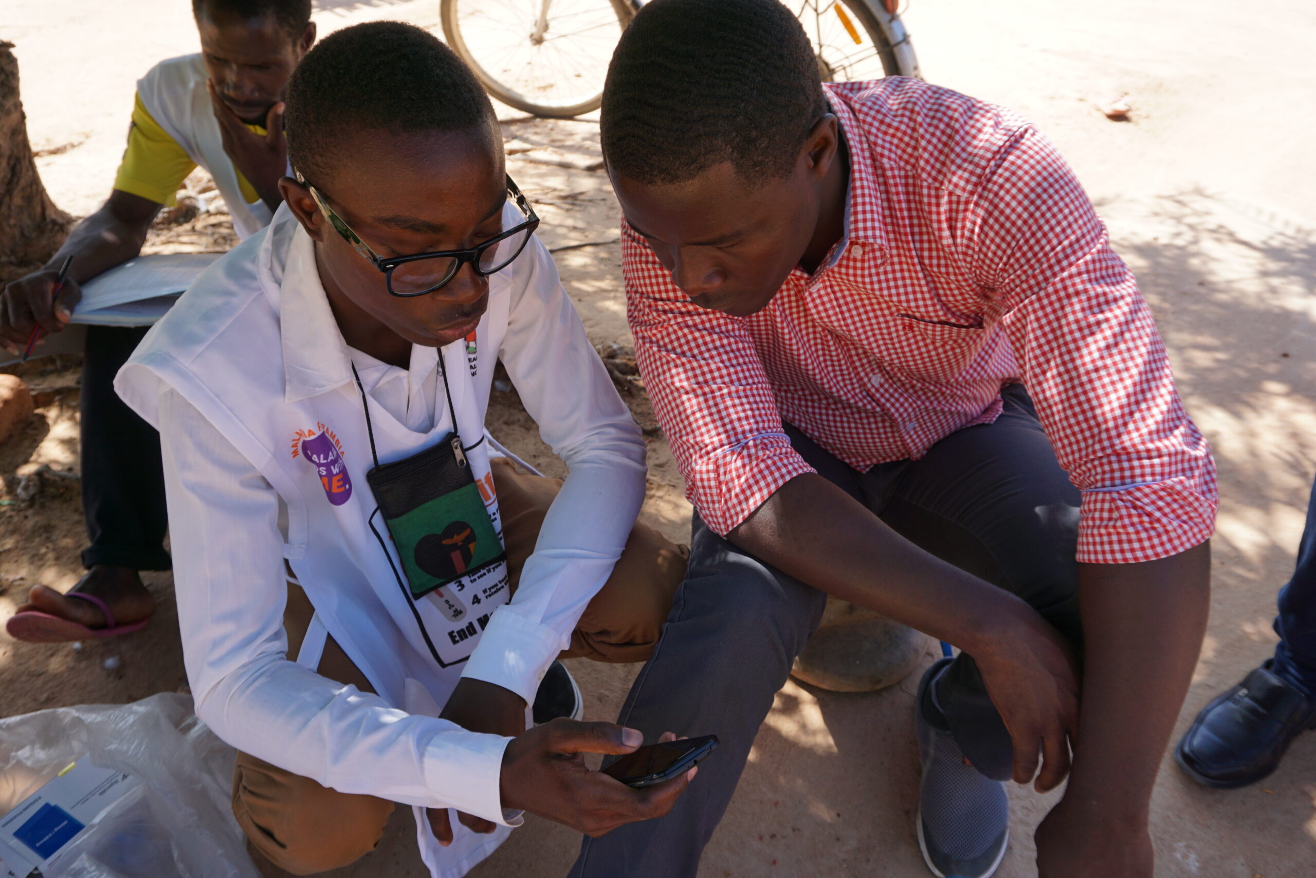
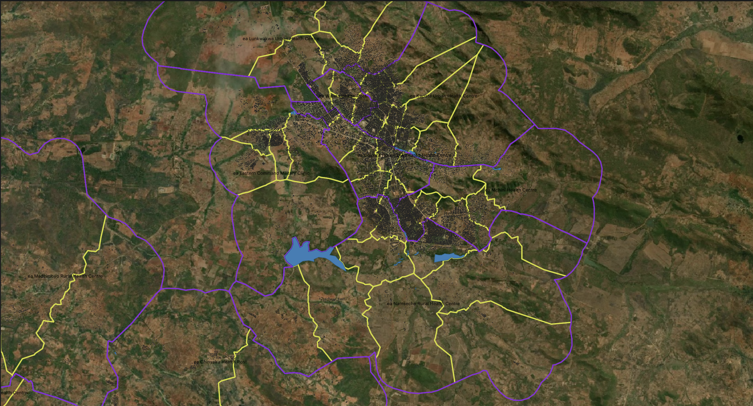
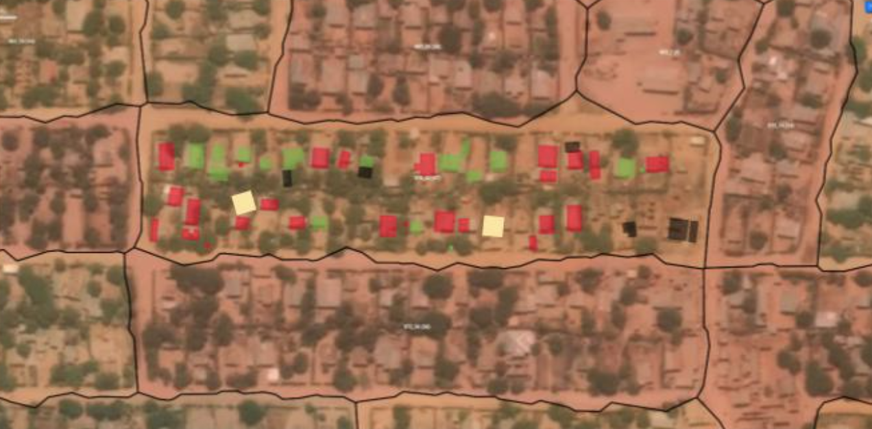
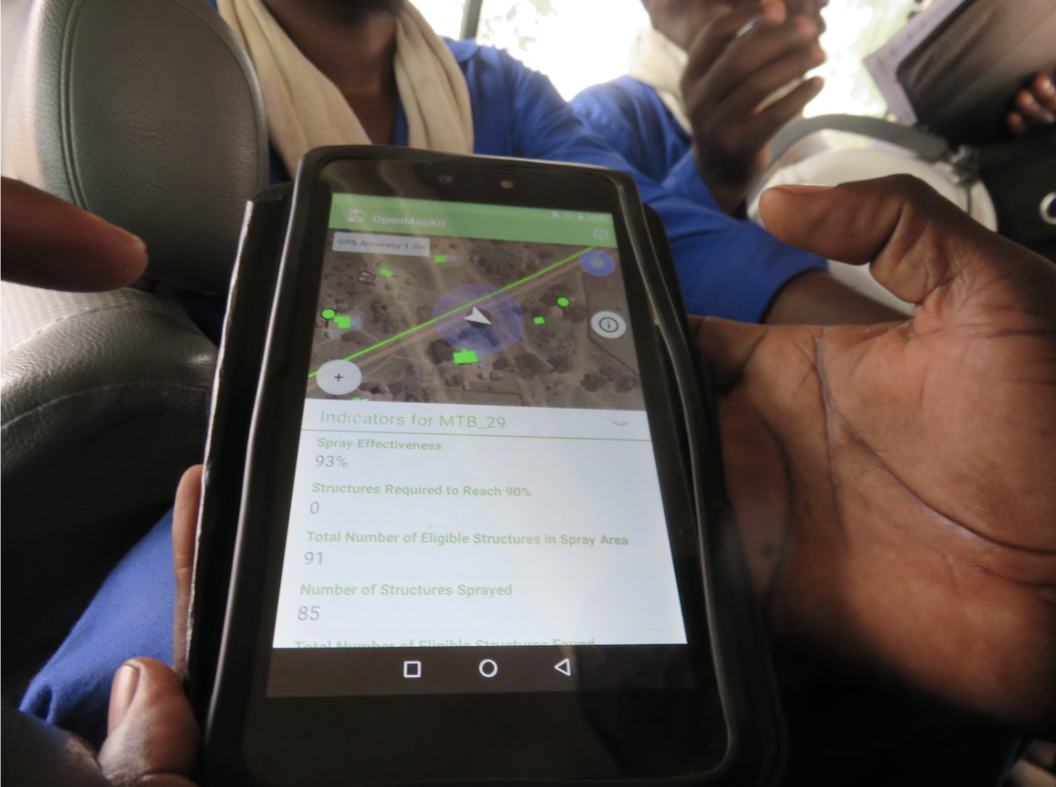
Akros has supported IRS campaigns in multiple countries, using high-resolution settlement maps to ensure full coverage, and entomological surveillance to guide insecticide choice and timing. We have strengthened ITN/LLIN distribution systems and piloted geospatial approaches for larval source management (LSM), giving governments sharper tools for vector control.
02
Epidemiology & Case Management
From reactive case detection in Namibia to focal MDA pilots in West Africa, Akros has helped governments design and implement surveillance-response strategies consistent with WHO’s elimination guidance. Our work on SMC in the Sahel has ensured medicines are delivered on time, in the right places, and with clear accountability to local health teams.
03
Data Systems & Surveillance
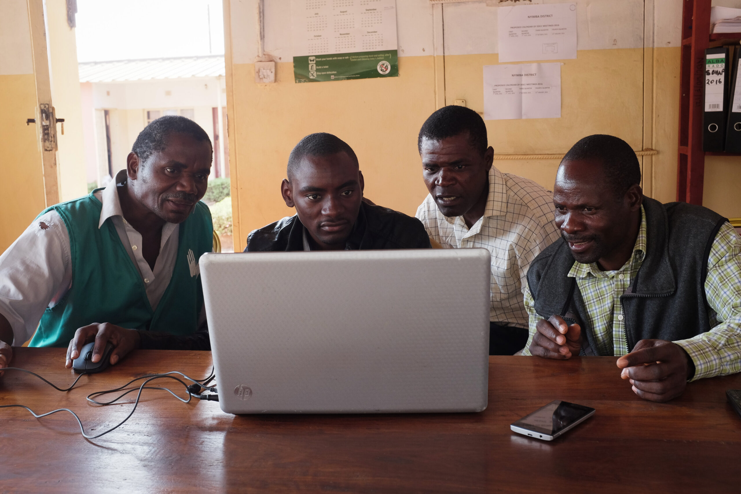
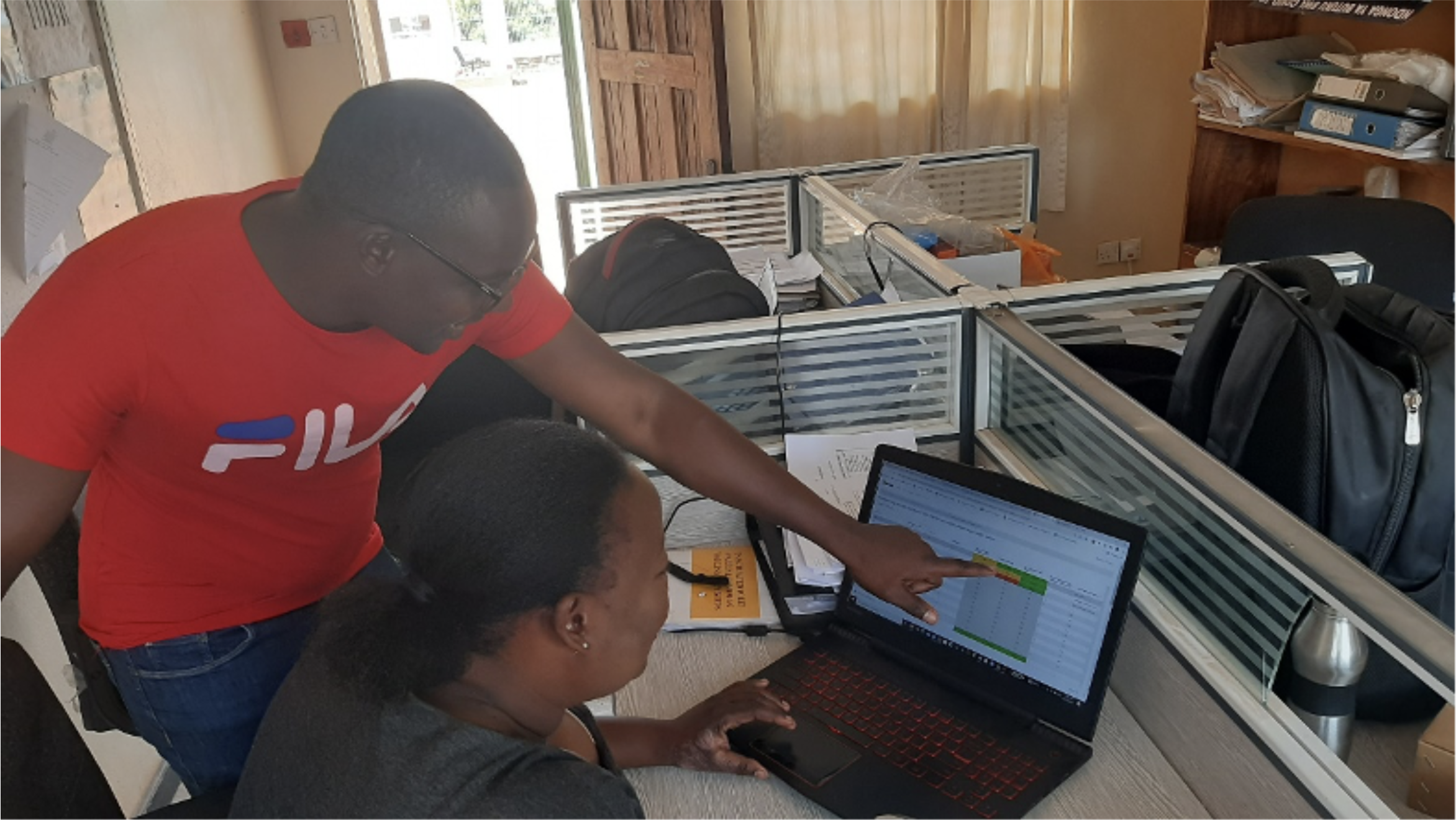
At the core of our malaria support is data. Reveal, our open-source platform, brings geospatial microplanning, offline field tasking, and real-time dashboards into the hands of ministries and partners. Regional systems like the E8 surveillance platform demonstrate how data can transcend borders, enabling joint responses in elimination contexts.

Senegal
Akros supported the national malaria program to microplan IRS and SMC campaigns, using Reveal to align campaign resources with true population distribution. This led to measurable improvements in coverage and accountability across rural districts.

Nigeria
Through INFORM and related initiatives, Akros applied geospatial microplanning to routine immunization and malaria services, uncovering previously unmapped settlements and reducing gaps in both vaccine and malaria coverage.

E8 (Southern Africa)
Akros designed and implemented the first cross-border malaria surveillance database on the continent. Namibia, Botswana, Eswatini, Mozambique, and South Africa now use this system to share case data in real time, enabling coordinated responses in border districts critical to elimination.
Akros co-hosts the Bridge the Gap Malaria Incubator, which works with countries to identify priority needs to combat malaria in the face of recent, drastic funding cuts.
We collaborate with ministries of health, WHO, the RBM Partnership, USAID/PMI, PATH/MACEPA, the Gates Foundation, and regional bodies such as SADC/E8. Our role is to ensure technical innovations are embedded in institutional frameworks for long-term impact.
Malaria control and elimination from every angle: Mapping and applying larval source management with Reveal
Malaria is prevented through use of many tools, one being the management of larval breeding areas, also known as “larval source management” (LSM). The…
Luanshya District pushes towards malaria elimination through application of geospatial technologies to guide and deliver malaria interventions
Malaria elimination requires consistent high coverage of effective malaria prevention and treatment interventions—and high coverage is challenging to achieve particularly in developing countries where…
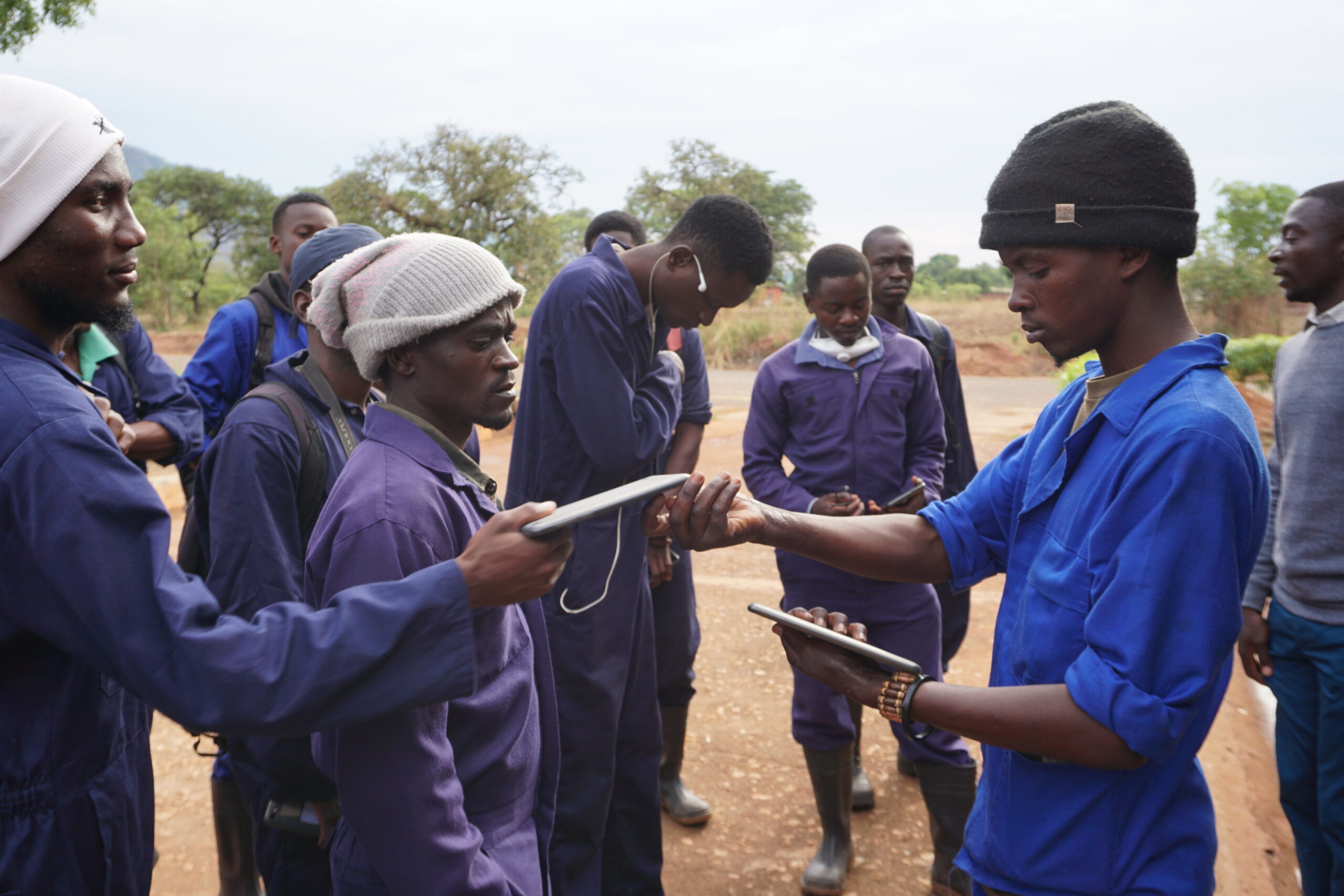
Kaoma team use Reveal dashboard to plan IRS mop-up in Zambia’s Western Province
No matter the health campaign or tools used to implement the campaign, “mopping-up”–that is, bringing health resources to those people that did not receive…
- Disease detection, rapid diagnostics, mobile tech and mapping.
- Malaria control and elimination from every angle: Mapping and applying larval source management with Reveal.
- Luanshya District pushes towards malaria elimination through application of geospatial technologies to guide and deliver malaria interventions.
- Last mile first—the power of geospatial is now in the hands of field teams